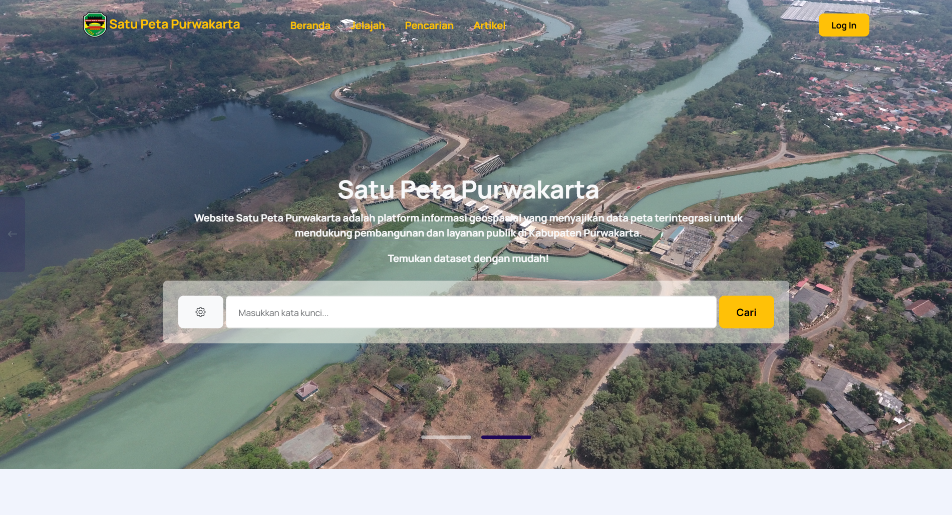


Project Overview
Satu Peta is an official geospatial web platform developed for Diskominfo Purwakarta. This system integrates various spatial datasets to support regional development, infrastructure planning, and public services. With a modern interface and interactive map tools, users can explore and analyze spatial data more intuitively than ever before.
Key Features
- Interactive Map Exploration: Smooth navigation with a responsive user interface, complete with zoom and pan controls for seamless spatial exploration.
- Advanced Spatial Filters:
- Bounding Box Query: Filter data by selecting custom geographic areas.
- Dataset & Agency Filters: Quickly access specific spatial information by category or organization.
- Data Management Dashboard: Manage map datasets, user accounts, articles, app settings, categories, and institutional data synchronization in one place.
- Responsive Design: Optimized for both desktop and mobile devices for smooth map interaction.